
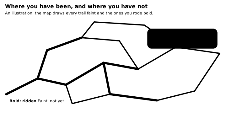
After a few seasons on the same hills, nobody can say for sure which trails they have ridden and which they have only driven past. Life Lever Moto keeps count for you. Every trail you have ridden shows on the map in its own colour, and a tap on one tells you when you were there.
One layer, built from your rides
Save a ride and Moto adds it to the layer. The ride’s GPS line is matched to the mapped trail it followed, so a wobbly track becomes a clean trail, and a trail you rode five times counts once. A trail the map does not know is still drawn as your own line. Rides on paved roads are left out, because the layer is about the dirt.
You stay in charge of what counts:
- Each saved ride has a switch, Counts as ridden, on by default. Turn it off and its trails leave the layer.
- An imported file does not count unless you say so. A race hand-out you loaded is not a trail you have ridden, so it stays out until you flag it. A recording you made on another app can go in.
- The layer is your own. Pick one of six colours so it never fights the colours of the trails around it, and hide it with the eye whenever you want the plain map.
The miles shown are trail miles: ten miles of trail ridden five times is ten miles. Your ride files and imported GPX files are never rewritten to do any of this.
It works with no signal
The layer is built from files on the phone, and the matching reads the offline map regions you saved. In the hills, with no bars, the layer is still there.
Ask a stretch what it was like
Tap a ridden stretch and a card opens. It names the dates you rode it, then gives it a difficulty from 1 to 5, with the reasons in plain words: pace, stops, grade. “Steady pace. Hardly stopped. Mostly flat.” Or “Slow going. Stopped much of the time.”
The difficulty comes from your own passes: how slowly you went, how much of the time you were stopped, how steep it was. It is your own scale for your own bike, and it gets better as you ride the same ground again. A stretch is a piece of trail about 800 feet long in one direction, so uphill and downhill are counted apart, because they are different trails.
If your bike’s data connector is on, the card adds what the engine did on that stretch: revs, throttle open, how long the engine ran, and a fuel estimate. That estimate comes from your own fill-ups and spreads a tank evenly over the distance, so it is a guide to compare stretches, not a measurement. A switch in the layer sheet colours the layer by fuel, from the cheapest of your own stretches to the thirstiest, once there is enough data to tell them apart.
What it is good for
Planning the next ride around trails you have not done. Finding the one stretch of a loop where the engine ran hottest, or where you stopped three times. Showing a friend what you have ridden, and showing yourself how the map fills in over a season.
It is also the map that your own AI can read: a ride you save goes to your lifelever, so you can ask what you rode last month.
The ridden layer is part of the trail map. Street mode draws a street map and does not show it. Moto is an iPhone app, handed out by invite. Join the waitlist, or read about everything Moto does.