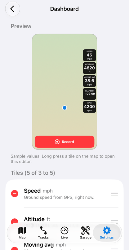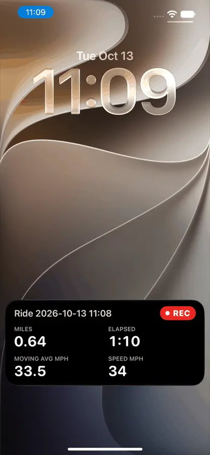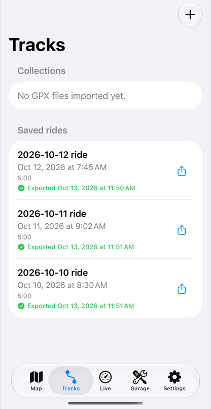
This half of Life Lever Moto records where you went, and the engine data rides along on the same track. The bike half of the app is on the bike page.
What it tells you

GPS logging
Press Record and the app keeps your track once a second, with distance, time moving, speed and climb. Pause and resume when you stop.

Trails
Trail maps that work offline, loaded before you go. A layer shows the trails you have ridden, and you can import tracks from other trail map apps and GPS units. Check your local OHV rules: the map shows what its data says about each trail, and it will not tell you a trail is open.

Directions
Street mode gives street directions with traffic and spoken guidance, for the road to the trailhead. Routes are a car's, not a motorcycle's.
Follow an event route
Import the event's hand-out of tracks and waypoints, such as the Big Bear Run hard route. The app chains them into one route, shows progress and calls the next cue.
Ride time to the next trail split
The app shows the distance to the next waypoint on an imported route.

Elevation and contours
Download elevation for a map region, and the map shows hillshade and contour lines. Each ride keeps its climb.
Your climb against your best
Ride the same stretch more than once and drag across it on your ride replay. The app lines your passes up and marks the fastest.


The data, on real rides
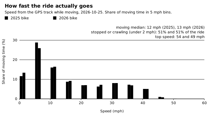
Hard enduro is slow and hard: moving time sits mostly between 5 and 30 mph, half the ride is stopped or crawling, and the top speed was 54 mph.
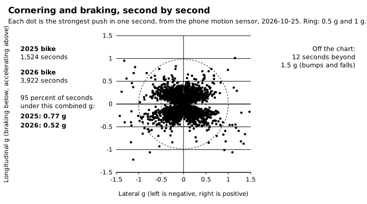
A g-g diagram from two trail rides: most seconds stay inside 0.5 g, with a few hard braking and cornering seconds near 1 g. The phones were mounted differently, which shows in the spread.
A look inside